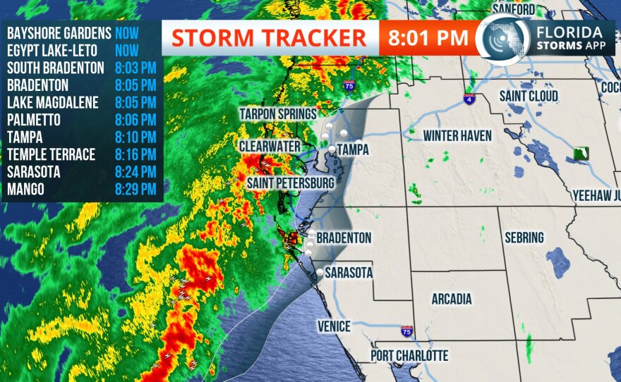
A powerful storm system that passed through Florida Thursday night and all day Friday, leaving most of the Tampa Bay area wet. Heavy rain was much more a problem than threats of damaging wind gusts up to 70 mph and isolated tornadoes.
Florida Public Radio Emergency Network Meteorologist Cyndee O'Quinn said the biggest concern was severe thunderstorms that passed across portions of the Tampa Bay area Friday night.
The region expected several hours of thunderstorms Friday night, she said, meaning a much cooler morning would come Saturday as the cold front moves in.
Areas north of Tampa were most soaked. Parts of the Nature Coast saw as much as six inches of rain as of 3 p.m. Friday, O'Quinn said.
That's why an flood watch had been issued for portions of North Florida from Jacksonville to north of Tampa through early Saturday morning. Rainfall totals will be between two and four inches with isolated areas of six to eight inches. River flooding is possible due to significant amounts of rainfall.
Across the state, the risk from the storm was most concentrated in a corridor from Tampa to Ocala to Jacksonville.
The National Weather Service Tampa Bay in Ruskin said earlier Friday that the east side of this complex storm system is expected to produce heavy rain, from two to four inches. Higher amounts will be possible in parts of the area. Flooding is possible in low-lying and poor drainage areas.
The Weather Service issued a flood watch early Friday to help residents prepare. That includes coastal and inland parts of of Citrus, Hernando and Pasco Counties through this evening.


