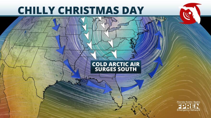
Florida may not get a white Christmas but it will certainly get a blast of cold air after a strong low pressure system moves through the state.
A potent low pressure system producing a strong cold front is expected to move eastward across the Plains on Wednesday and approach the Florida Panhandle Christmas Eve. The front will help to lift moist air northward from Gulf of Mexico potentially fueling strong showers and thunderstorms which could produce heavy rainfall and gusty winds ahead of the cold front. That low pressure will also help to shove the jet stream, currently located to the north near Canada, as far south as the Gulf of Mexico. This will deliver a blast of cold arctic air behind the passage of the cold front.
This front is expected to drag across the Florida Panhandle and the northern part of the Florida Peninsula during the day and overnight on Christmas Eve. Scattered to widespread showers and thunderstorms, some of which could be heavy at times, may lead to ponding on the roads during a busy travel time.
Temperature will remain near or slightly above average through Thursday ahead of the approaching cold front but once the front clears the region cold northerly winds will plummet temperatures to below average on Christmas Day for much of the Sunshine State. Parts of the Florida Panhandle may only climb into the upper 40s for the afternoon with North Florida and Central Florida maintaining highs in the 50s with low overnight temperatures in the 30s and 40s. Upper 20s are possible in the Panhandle and North Florida.
South Florida may not see the passage of the cold front until Christmas morning which will make for a warm and humid Christmas Eve. However, depending on how fast the cold front moves through the area parts of South Florida could experience the coldest Christmas in over two decades. Afternoon temperatures will likely only be in the 60s and falling further into the 50s behind the cold front. If the official high temperature is below 73 degrees, it will be the coldest Christmas since 1999.
Copyright 2020 WUFT 89.1. To see more, visit WUFT.org.


