-
 Isaias made landfall near Destin as the first hurricane of the Atlantic season.
 -
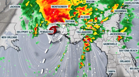 Damaging winds, tornadoes, and flash flood risk will continue throughout the weekend across the Southeast into the Mid-Atlantic.
 -
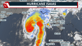 Numerous damaging tornadoes are possible even after the hurricane moves inland and weakens; heavy rains will continue throughout Saturday morning across the Florida Panhandle.
 -
 Preparations for Hurricane Isaias are underway at the state and local level, and residents are heeding advise to get ready.
 -
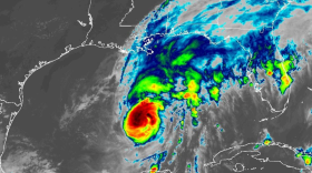 Landfalling tropical systems have a history of producing tornadoes, but the atmospheric ingredients around Hurricane Isaias appear conducive for supercells and tornadoes across northern Florida.
 -
 Hurricane Isaias landed Friday night on the Florida Gulf Coast. The storm was expected to bring life-threatening storm surge, damaging winds, flooding and the possibility of tornados.
 -
 During a press conference Thursday, Governor Ron DeSantis said evacuations have already begun in low-lying areas close to the coast.
 -
 Isaias strengthened into a Category 3 hurricane on Friday and is expected to make landfall near Pensacola by Saturday morning.
 -
 Tropical Storm Isaias is now the first Atlantic hurricane of 2026 — and it's spinning toward the southeastern U.S.
 -
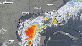 Tropical Storm Isaias is expected strengthen into a Category 2 hurricane on Friday. The cyclone is headed towards the northern Gulf but moisture will impact much of Florida.
 -
 Even with this latest activity in the Gulf, it's been a quiet Atlantic hurricane season so far, which is typical for the El Niño climate pattern we're in right now.
 -
 A strengthening El Niño could bring Florida a wetter, cloudier and stormier dry season. Here is why the risk of flooding, squall lines and tornadoes typically increases—especially across Central and South Florida.

© 2026 All Rights reserved WUSF
Play Live Radio
Next Up:
0:00
0:00
Available On Air Stations


