Howling winds tore across the central U.S. on Wednesday, setting a record for the highest number of hurricane-force thunderstorm wind gusts in a day since 2004, the National Weather Service says. At least 55 gusts surpassed the 74-mph threshold for hurricane winds.
"The previous record was from August 10, 2020 with 53," the NWS Storm Prediction Center said.
Strong wind has been blamed for at least one death — a truck driver in eastern Iowa who didn't survive when the wind hit his semi, which then rolled onto its side on a highway. That's according to the Associated Press, citing state police.
Winds peaked at 100 mph in Russell, Kan., one of many places where existing wind records for December were obliterated, the NWS office in Wichita said.
Today (12/15) has set the record for the most number of hurricane force (75+ mph) thunderstorm wind gusts in a day (55, and counting) since 2004. The previous record was from August 10, 2020 with 53. pic.twitter.com/bqULyJJEw5
— NWS Storm Prediction Center (@NWSSPC) December 16, 2021
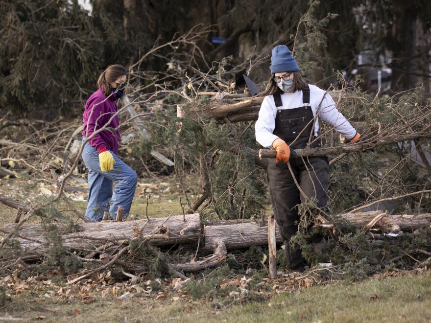
Gusts ripped up roof shingles and made driving perilous. In Great Bend, Kan., it toppled a church steeple.
As NPR reported on Wednesday: "The alarming weather events in Colorado, Iowa, Kansas and Nebraska, downed trees, caused road closures, and left thousands of residents in multiple states without power well until the morning.
"In Nebraska alone, officials reported wildfires, tornadoes, high winds, rain and snow that seriously impacted traffic and was reportedly blamed for overturned vehicles."
Dust storm time-lapse.. at NWS Goodland on Wed Dec 15, 2021. View toward the W from late AM to mid PM. Onset of dust storm and strong SW winds occurs ~0:02s. Note the abrupt 'halt' in cloud cover ~0:08s.. followed by the rapid NW wind shift at ~0:11s. #KSwx #COwx #NEwx pic.twitter.com/7mPqSCZvJg
— NWS Goodland (@NWSGoodland) December 15, 2021
As the winds whipped over land, they swept massive amounts of dust into the air, reducing visibility and increasing the threat to drivers.
Many cities also saw unseasonably warm temperatures that set new records for the month of December. From Madison to Des Moines to Omaha, the highs blew past old marks. In Moline, Ill., the temperature reached 75 degrees, just 10 days before Christmas.
The strong winds arrived less than a week after multiple tornadoes devastated homes and communities in Kentucky, Illinois, Missouri, Tennessee and Arkansas.
As a powerful storm is currently sweeping through the Plains, the #GOES16 🛰️ watched it sweep up dust as winds gusted ~80-100 mph in some places.
— NOAA Satellites (@NOAASatellites) December 15, 2021
This type of imagery highlights dust as bright yellow so it's easier to see. Learn more about it: https://t.co/KsTbJEiknM pic.twitter.com/W4g7Hp6hfJ
While it can be difficult to connect climate change to any particular storm, experts say that in general, air that's becoming warmer and more moist is providing more fuel for extreme weather, from hurricanes to intense inland storms.
University of Michigan climate scientist Jonathan Overpeck wrote recently that the trend means unusually strong storms could become more likely to strike in the cooler months, adding that they will hit regions farther north than has been the norm.
FEMA Administrator Deanne Criswell echoed that sentiment, stating last week, "This is going to be our new normal," as she discussed what she said was an unprecedented amount of severe late-year storms.
A version of this story first appeared in the Morning Edition live blog.
Copyright 2021 NPR. To see more, visit https://www.npr.org.


