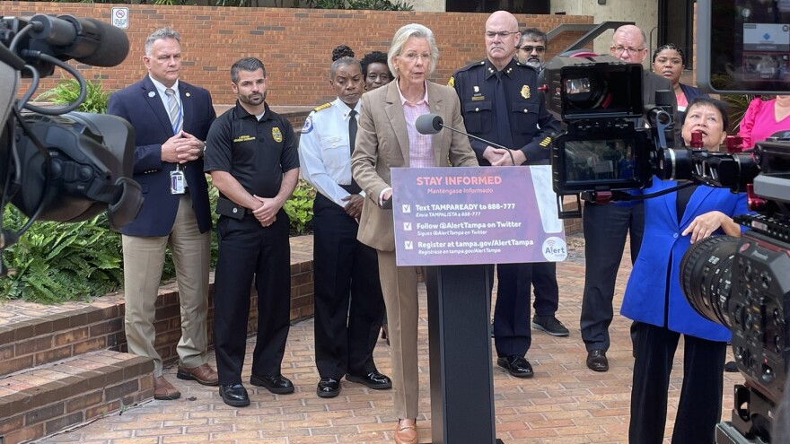
Tampa officials on Monday warned residents that an exceptionally high tide in the Tampa Bay — known as a "King Tide" — is expected to intensify the storm surge threat to the region by Hurricane Idalia.
Mayor Jane Castor said the city's stormwater department has been working around the clock to make what preparations they can.
"Our stormwater department is currently emptying out the ponds that they can, clearing those drains that have been problems in the past, and then also putting water out over the dam," Castor said. "WW should be able to lower the reservoir by about a foot which will be very, very helpful."
All of the greater Tampa Bay region remains under a Storm Surge Warning.
MAP: View a map of storm surge warning
Castor addressed residents in downtown Tampa as the city issued a state of emergency.
"Unfortunately, it's usually September, late September, early October, we started having these conversations," Castor said. "But here we are at the end of August, with our first storm that is going to threaten the Tampa Bay area."
Castor urged residents to be vigilant and stay prepared.
The storm is expected to threaten the Tampa Bay region with up to 8 inches of rain and up to 7 feet of storm surge.
The city of Tampa is bracing for storm-force winds to begin Tuesday afternoon with the most severe storm impacts to start around 9 p.m..
Castor warned residents that the intensity and the direction of the storm is subject to change.
Here’s how Tampa residents can get the latest updates:
- Text ‘TAMPAREADY’ to 888-777
- Envia TAMPALISTA a 888-777
- Visit tampa.gov/hurricane
- Follow @AlertTampa on Twitter (X)
- Reach Tampa’s hurricane call center at 833-TAMPAINFO
Residents can also find their evacuation zone and nearest hurricane shelter here.


